

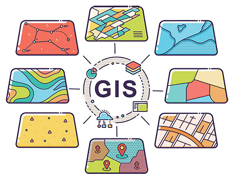
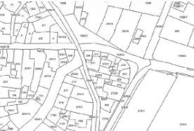
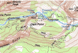
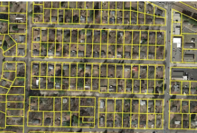


Geoved team provides you with quality services with complete cadastral mapping, topographical mapping, parcel mapping, indoor mapping, utility mapping, geological mapping.
We make sure that the geospatial data maps supplied to our clients can be utilized in the most effective way. Every GIS project that we get, we implement ongoing data quality control to ensure that coordinate databases, foreign source data, such as geological and topographical maps, GIS data attributes create a truly seamless GIS mapping environment.
