GIS Web & Mobile App Development

Mission & CoreValues

GIS Mobile App Development Services

Due to easy access and demand of SmartPhone Dedicated mobile application for GIS is in demand in the industry. Geoved Technologies has an expertise in GIS mobile application team which can develop location based GIS or GPS applications.It can be easily used by non-GIS users also.

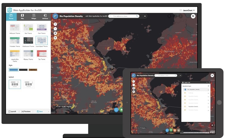
GIS applications can vary from GIS data collection to access of GIS tools. We have expertise to develop ESRI based mobile applications and can offer development services across desktop, web and mobile platforms. We have expertise and solutions for multiple domains using technologies like HTML5, Silverlight, JavaScript and Flex projects.

Developed initially to aid environmental and life sciences, geospatial technology is used across multiple domains and industry verticals today.

With the integration of progressive technologies, Geoved specializes in GIS based app development services to fetch data and geographical locations of the devices, to be used by businesses across industry verticals.

Image

GIS Based Application

We have years of experience in developing various map Applications for consumer demographic reports, email marketing, target marketing and reports that our clients are successfully deploying for their business needs.

GIS can be thought of as a system that provides spatial data entry, management, retrieval, analysis, and visualization functions.

The implementation of a GIS is often driven by jurisdictional (such as a city), purpose, or application requirements. Generally, a GIS implementation may be custom-designed for an organization. Hence, a GIS deployment developed for an application, jurisdiction, enterprise, or purpose may not be necessarily interoperable or compatible with a GIS that has been developed for some other application, jurisdiction, enterprise, or purpose. What goes beyond a GIS is a spatial data infrastructure, a concept that has no such restrictive boundaries..

  • ESRI Business Analyst API
  • ArcGIS & Google API
  • ArcGIS Web AppBuilder
  • OpenStreetMap
  • Geoserver
  • Story Map
Image

Mobile Application

We help our clients with location based native mobile applications for various mobile platforms such as iPhone, iPad, Android, Balckbery and Windows Phone. We will give you a head start by getting a clear vision of your mobile goals and business applications at the very beginning. Based on our analysis we will choose the best platform for your mobile application that is efficient and cost effective. We complete the project by publishing the application on your behalf.

  • iPhone-Objective C
  • Android-Java with Android SDK
  • Windows Phone- WPF
  • Hybrid Mobile App Developement
Image

Web Based Application

We offer both business and e-commerce websites with HTML and CMS design. We will work with you to create a design that is suitable for you and your needs and deploy at your server to make sure it works when live.

Whether you are looking to get a brand new website design for your business or whether you are looking to give your old site or logo a touch up, we are hear to accommodate you with your needs.

Our custom website design starts at a very affordable price. Depending on what functionality you want on your website, our cost will be the best in the town as long as you work with us..

  • ASP.NET/C#
  • Infragistics
  • Silverlight, Silverlight/WPF
  • Angularjs
  • Php Web Development
  • MySql & postgresql
  • Bootstrap
  • WebApi
  • Windows Communication Foundation (WCF)
  • Adobe PhotoShop

Advantages of GIS Application Development Services:

  • Design and develop customized GIS solutions for desktop, web, and mobile platforms
  • GIS application development and enterprise integration
  • Mobile GIS application development
  • Development of spatial information systems
  • Enterprise GIS solutions
  • Achieve version/platform migration for the existing applications
  • Integration along with development, designing and maintenance of spatial database
  • Development of location based services (LBS)
  • Comprehensive data management, geo-database development, cross platform migration

ESRI’s Survey123

  • Esri’s Survey123 provides clients with customized forms for data collection
  • ArcGIS Survey123 is a complete, form-centric solution for creating, sharing, and analyzing surveys. Use it to create forms with skip logic, defaults, and support for multiple languages. Collect data using web or mobile devices, even when disconnected from the internet.
  • The collected datasets can be automatically displayed on Esri Web Mapping Applications for analysis and visualization.
  • Image

    GIS Services To Applications

    Technology use for GIS Application Development

    Google API
    World Map
    Java
    ArcGIS API For Java Script
    WMS/WFS
    Open Street Map
    Bing Maps API
    ArcGIS API For Python